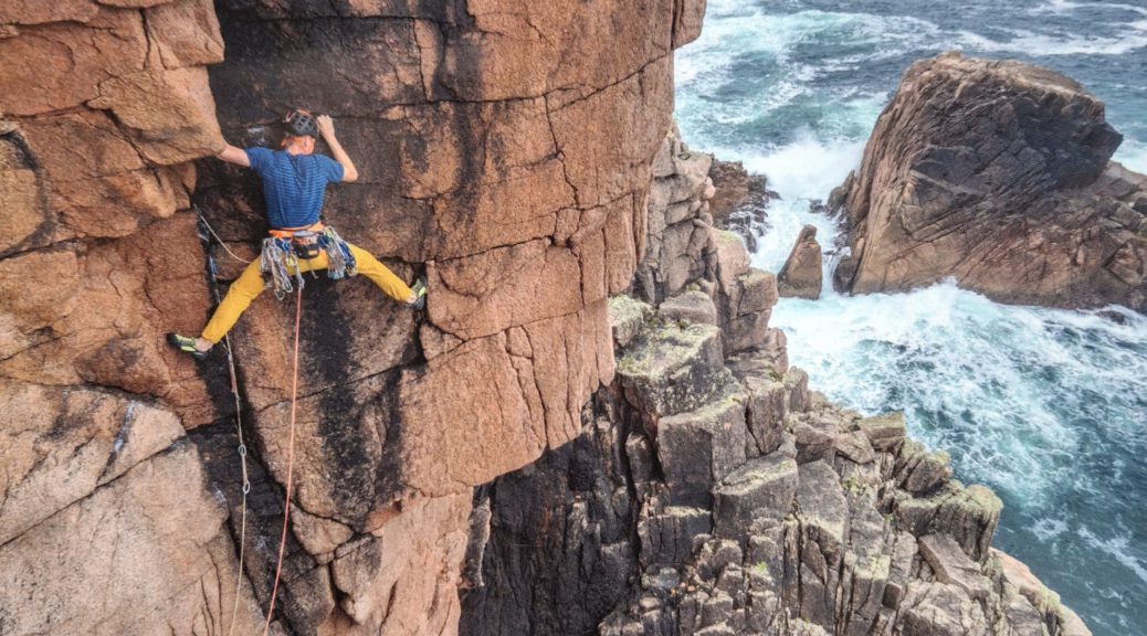
I was excited about the imminent arrival of this publication, and wasn’t disappointed by the glossy cover, and superb photos and topos inside. The increase in size from the usual guidebook format helps to make the photos more dramatic, and the recent availability of drone photography means that places like Malinbeg have much improved and clearer topos.
I was aware that the guide was going to be a selection restricted to West Donegal only, but could not find any reference to this in the introduction, or anywhere else. West Donegal seemed reasonable to me, (perhaps because a revised Inishowen Guide had come out last year), but not to even mention the existence of Inishowen is tantamount to publishing a hillwalking guide to Kerry, with no mention of the Dingle Peninsula.
Donegal came into being in 1585 apparently, combining the existing Tir Conail and Inis Eoghan. This guide is a guide to Tir Conail, and this would have been an appropriate title, particularly considering the publication’s Gaelic emphasis.
It’s difficult to see past this, but doing so, I was surprised not to see grid references given for the crag location, directions etc, but Lat/long. This must be the way forward for the mobile phone brigade? Personally, I know where all the crags are, but not everybody does, so I would be interested to hear what folk think about that.
I also liked the inclusion of articles by activists giving a bit of background history to many of the crags.
Having said all that, this publication is inspirational, up to Dave Flanagan’s usual practice of raising the bar for everybody else.
There is no doubt there are many great features about this new guide book. The use of long and lat for crag locations also needs some discussion. I feel it is a serious error not to have used grid references. The inclusion of both grid references and long and lat would have been appropriate.