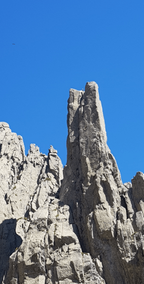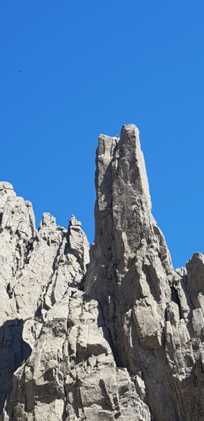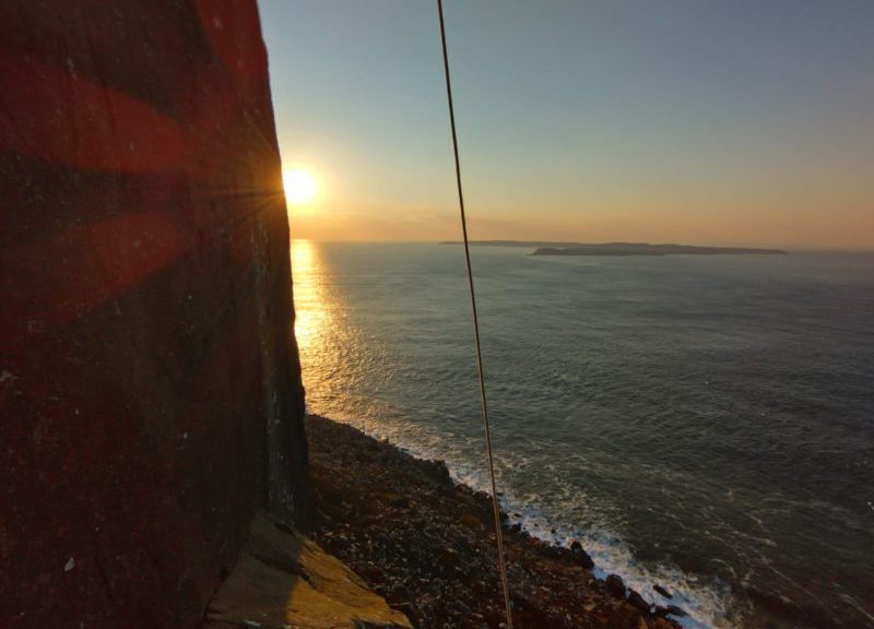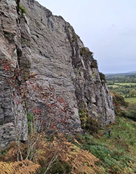
A July summers day, with beer in hand, I sat gazing at Les Drus. Sharp pinnacles looming over the valley in an unusually tempting shade of grey, their jagged edges catching the light of the crisp blue sky.
As my comrades Garry & Roger chatted, I had several moments drifting in and out of a conversation as my mind drifted off into the high mountains. It was easy to see that this was my first visit to Chamonix.
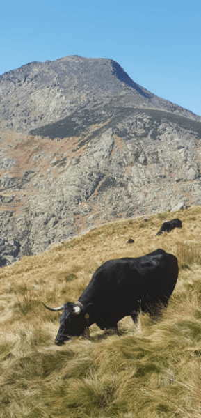
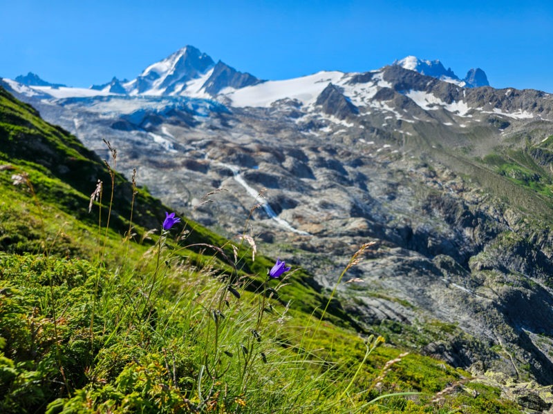
Our plan was simple – attempt to climb a 4000er. Not any 4000er, one that Garry had previously turned back on over a decade ago. First of all, we had to acclimate our bodies to the thin Alpine air so the following day we had a moderate hike to Lac Blanc, where we continued to try and push further to just over 2500m.
On day two it was decided to push further and to include some glacier travel and rope-work. It turned out to be a big day with 20km distance and 2000m of height gained. We managed to reach 3150m on the Glacier du Tour. The Albert Refuge was a welcome sight both on ascent and descent!

We chatted and finalised plans that night, for what would be the countdown to a possible summit bid. Tomorrow we would catch the gondola at the Aiguille du Midi station and spend a night in the Cosmiques Refuge in preparation for an early start the following day.
It was not all plain sailing the next morning, as we stood in the queue with eager tourists there was a delay of over 30 minutes. Quite unusual, at a standstill and no explanation from the staff! It took a little persuasion from Garry and some probing questions to find out that the lift was suspended due to a storm brewing and that it was a white-out up top. After some chat, another staff member called us over and give us priority as we were, in her words “Alpin!”
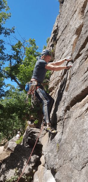
“Yes, Alpin…” quite obvious with ropes draped and axes fixed to our rucksacks. Apparently we got priority. With haste, we made our way inside to wait for the next lift to the top station.
As we sped our way up the steep mountainside the weather indeed looked a little stormy. In the tunnel we roped up and made our final checks and tip-tapped our way over the iconic barrier onto the Midi Arete. As the cloud weaved it’s way over the Arete we had some limited visibility on our way down to the Vallee Blanche and finally to out trusty Refuge for the night with a view of our climb.
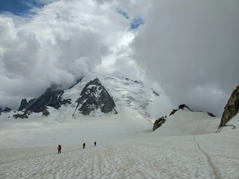
After a tasty meal and dessert we pondered over details of the following morning. Reports of avalanche just a few days before and the all too common serac and rock fall plays on the mind a little. Especially when you’re watching it live from the dining room window!
3am – groggy and not very well slept, we woke and had a minimal Alpine Hut breakfast and set off trudging along the glacier. It wasn’t 20 minutes until we met a guide returning to the Hut. Something to do with conditions and “not today” My mind went into a negative swirl of emotions, convincing myself that this was not going to happen. We pushed on, just investigating and listening for unusual cracks and bangs. Not much stirred.

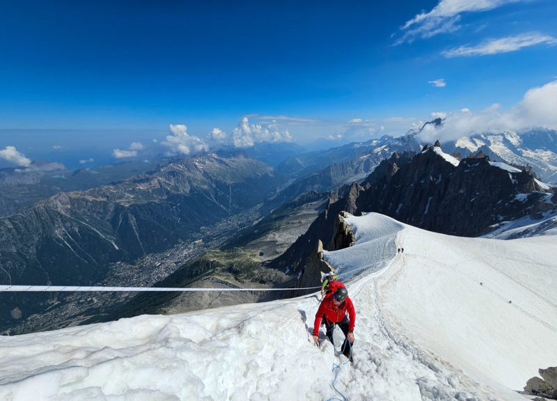
From memory, it was around 3600m where we met another team of two retreating, this time because of sickness. It was at this point we made a decision to go for it, after the team of two had pointed out better snow conditions further up. Meandering our way around the deep crevasses and hopping a few snow bridges we were gradually making headway on the steep slopes.
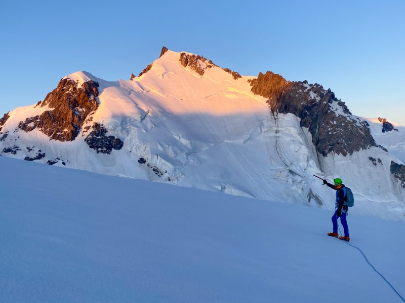
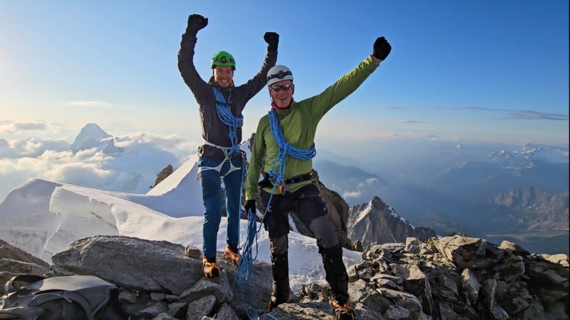
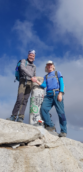
With the morning sun now glowing on Mont Maudit, it was now that we knew the summit was close and that we had a chance of success. At 06:30 we could go no higher, the top of Mont Blanc du Tacul, 4248m. That was a very special feeling. I have great respect for Garry for attempting this peak for a second time and being able to accompany him was a absolute pleasure!